Category:Sorrow's Embrace area maps
From Guild Wars 2 Wiki
Jump to navigationJump to search
== Licensing ==
{{ArenaNet image|screenshot|Sorrow's Embrace area maps}}
Media in category "Sorrow's Embrace area maps"
The following 15 files are in this category, out of 15 total.
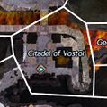
- Citadel of Vostol map.jpg 266 × 268; 42 KB
- Citizen's Co-operative map.jpg 303 × 393; 58 KB
- Dredge Square map.jpg 515 × 384; 99 KB
- Forgeman Chamber map.jpg 386 × 537; 121 KB
- Geothermal Access map.jpg 231 × 337; 41 KB
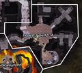
- Inquest Base KD-4 map.jpg 422 × 378; 81 KB
- Mechanism Depot map.jpg 345 × 304; 54 KB
- Mechanisms of Production map.jpg 364 × 240; 54 KB
- Old Summit Quarry map.jpg 405 × 235; 50 KB
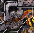
- Redflicker Fissure map.jpg 436 × 417; 104 KB
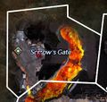
- Sorrow's Gate map.jpg 315 × 299; 48 KB
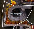
- The Irongorge map.jpg 338 × 292; 56 KB
- Utility Passage map.jpg 536 × 292; 85 KB
- Volcanium Pit map.jpg 335 × 460; 93 KB
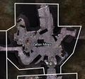
- Zalten Mines map.jpg 479 × 447; 90 KB
