Category:Queensdale area maps
From Guild Wars 2 Wiki
Jump to navigationJump to search
Media in category "Queensdale area maps"
The following 26 files are in this category, out of 26 total.
- Altar Brook Vale map.jpg 1,298 × 1,137; 580 KB
- Altar's Windings map.jpg 466 × 858; 131 KB
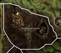
- Bandithaunt Caverns map.jpg 838 × 732; 193 KB
- Beetletun Farms map.jpg 915 × 865; 316 KB
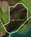
- Beggar's Burrow map.jpg 454 × 531; 94 KB
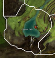
- Clayent Falls map.jpg 781 × 815; 240 KB
- Demongrub Pits map.jpg 506 × 818; 146 KB
- Eastern Divinity Dam map.jpg 1,131 × 474; 202 KB
- Godslost Swamp map.jpg 1,324 × 1,417; 708 KB
- Krytan Freeholds map.jpg 1,031 × 1,077; 446 KB
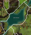
- Lake Delavan map.jpg 824 × 924; 292 KB
- Orlaf Escarpments map.jpg 803 × 759; 258 KB
- Phinney Ridge map.jpg 813 × 1,426; 411 KB
- Pinion Trail map.jpg 455 × 929; 148 KB
- Queen's Forest map.jpg 1,577 × 1,376; 824 KB
- Salma's Heath map.jpg 813 × 1,029; 319 KB
- Scaver Plateau map.jpg 928 × 1,043; 402 KB
- Shaemoor Fields map.jpg 1,339 × 1,323; 766 KB
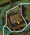
- Shaemoor Garrison map.jpg 414 × 484; 95 KB
- Shire of Beetletun map.jpg 1,125 × 1,035; 446 KB
- Taminn Foothills map.jpg 747 × 947; 260 KB
- The Heartwoods map.jpg 1,138 × 1,217; 544 KB
- Township of Claypool map.jpg 816 × 776; 276 KB
- Village of Shaemoor map.jpg 1,242 × 1,472; 815 KB
- Western Divinity Dam map.jpg 916 × 486; 196 KB
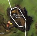
- Windloss Delves map.jpg 428 × 425; 108 KB
