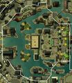
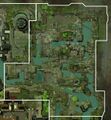
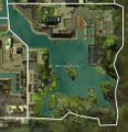
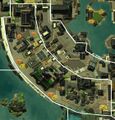
Category:New Kaineng City area maps
From Guild Wars 2 Wiki
Jump to navigationJump to search
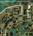
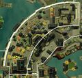
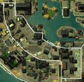
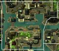
Media in category "New Kaineng City area maps"
The following 16 files are in this category, out of 16 total.
- Baedal Hill map.jpg 1,118 × 1,220; 1.27 MB
- Bori Ward map.jpg 684 × 1,057; 652 KB
- Cobble Ward map.jpg 1,695 × 1,063; 1.62 MB
- Garden Heights map.jpg 1,125 × 1,065; 1.11 MB
- Grub Lane map.jpg 891 × 678; 545 KB
- Gwangsan Hill map.jpg 1,067 × 1,045; 1.06 MB
- Kaineng Docks map.jpg 992 × 1,397; 855 KB
- Lutgardis Plaza map.jpg 1,074 × 929; 936 KB
- Ministry Ward map.jpg 1,369 × 1,585; 1.95 MB
- Naksi Bay map.jpg 1,799 × 900; 1.13 MB
- North Lab map.jpg 791 × 1,066; 751 KB
- Old Kaineng map.jpg 1,139 × 1,232; 1.19 MB
- Petrified Woods map.jpg 940 × 971; 757 KB
- Power Plant map.jpg 470 × 421; 234 KB
- Soojung Heights map.jpg 1,117 × 1,170; 1.19 MB
- Sotdae Landing map.jpg 1,461 × 645; 548 KB
