Category:Hoelbrak area maps
From Guild Wars 2 Wiki
Jump to navigationJump to search
Media in category "Hoelbrak area maps"
The following 18 files are in this category, out of 18 total.
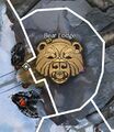
- Bear Lodge map.jpg 401 × 462; 153 KB
- Biergarten map.jpg 778 × 696; 296 KB
- Eastern Watchpost map.jpg 633 × 489; 241 KB
- Frost Basin map.jpg 820 × 578; 314 KB
- Hall of Legends map.jpg 602 × 464; 210 KB
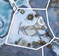
- Hero's Compass map.jpg 405 × 385; 132 KB
- Lake Mourn map.jpg 1,123 × 1,481; 895 KB
- Might and Main map.jpg 995 × 1,038; 943 KB
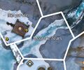
- Mourn's Tears map.jpg 402 × 335; 114 KB
- Peeta's Gate map.jpg 458 × 583; 228 KB
- Raven Lodge map.jpg 678 × 604; 258 KB
- Shelter Rock map.jpg 847 × 952; 552 KB
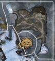
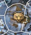
- Snow Leopard Lodge map.jpg 422 × 470; 181 KB
- Southern Watchpost map.jpg 509 × 728; 297 KB
- The Great Lodge map.jpg 831 × 640; 362 KB
- Trade Commons map.jpg 893 × 666; 519 KB
- Veins of the Dragon map.jpg 824 × 650; 319 KB
- Wolf Lodge map.jpg 358 × 342; 128 KB
