Category:Harathi Hinterlands area maps
From Guild Wars 2 Wiki
Jump to navigationJump to search
Media in category "Harathi Hinterlands area maps"
The following 24 files are in this category, out of 24 total.
- Arca Lake map.jpg 1,444 × 1,183; 649 KB
- Arcallion Digs map.jpg 901 × 593; 202 KB
- Bonerattler Caverns map.jpg 1,140 × 892; 363 KB
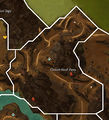
- Cloven Hoof Pass map.jpg 892 × 982; 369 KB
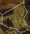
- Diremane Woods map.jpg 741 × 831; 276 KB
- Faun's Gap map.jpg 929 × 735; 288 KB
- Greenflin Plateau map.jpg 1,077 × 934; 404 KB
- Greystone Rise map.jpg 1,221 × 1,113; 538 KB
- Guardian Lake map.jpg 1,808 × 940; 601 KB
- Hangman's Saddle map.jpg 966 × 686; 266 KB
- Hidden Ourobon map.jpg 479 × 973; 202 KB
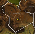
- High Timber Claim map.jpg 1,050 × 1,028; 461 KB
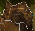
- Modniir Gorge map.jpg 910 × 815; 306 KB
- Nightguard Beach map.jpg 911 × 559; 185 KB
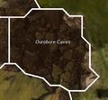
- Ourobore Caves map.jpg 597 × 551; 133 KB
- Ruins of Holy Demetra map.jpg 809 × 1,072; 334 KB
- Shieldbluff Point map.jpg 1,091 × 778; 313 KB
- Splintered Teeth map.jpg 791 × 961; 303 KB
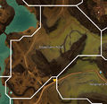
- Stoneman's Notch map.jpg 954 × 925; 347 KB
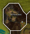
- The Feral Dens map.jpg 457 × 518; 125 KB
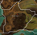
- Thunder Rock map.jpg 918 × 888; 317 KB
- Trebuchet Bend map.jpg 1,155 × 939; 412 KB
- Wildspine Hills map.jpg 1,580 × 1,266; 733 KB
- Wynchona Woods map.jpg 1,050 × 1,320; 533 KB


