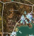
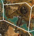
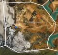
Category:Grothmar Valley area maps
From Guild Wars 2 Wiki
Jump to navigationJump to search
Media in category "Grothmar Valley area maps"
The following 25 files are in this category, out of 25 total.
- Bitter Horn map.jpg 695 × 791; 269 KB
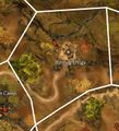
- Burning Effigy map.jpg 641 × 706; 244 KB
- Cavern of the Khan-Ur map.jpg 562 × 878; 243 KB
- Dalada Forest map.jpg 1,401 × 1,063; 710 KB
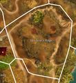
- Devourer's Ridge map.jpg 713 × 777; 288 KB
- Doomlore Ruins map.jpg 710 × 893; 270 KB
- Festival Promenade map.jpg 746 × 517; 208 KB
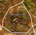
- Flame Legion Camp map.jpg 526 × 501; 145 KB
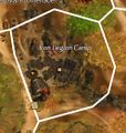
- Iron Legion Camp map.jpg 495 × 523; 149 KB
- Khan-Ur's Gauntlet map.jpg 1,370 × 684; 457 KB
- Kralkatorrik's Emergence Zone map.jpg 1,234 × 1,232; 867 KB
- Longeye's Landslide map.jpg 901 × 1,010; 459 KB
- Lower Blood Keep map.jpg 899 × 938; 447 KB
- Rusty Meadows map.jpg 1,597 × 1,245; 953 KB
- Sacnoth Stream map.jpg 464 × 1,526; 379 KB
- Shattered Steppes map.jpg 800 × 830; 339 KB
- Shiverpeaks Pass map.jpg 727 × 993; 364 KB
- The Brig map.jpg 460 × 481; 130 KB
- The Crag map.jpg 410 × 494; 116 KB
- The Ooze Pit map.jpg 1,016 × 569; 284 KB
- The Overlook map.jpg 430 × 711; 165 KB
- The Wardowns map.jpg 919 × 1,220; 599 KB
- Training Grounds map.jpg 809 × 763; 307 KB
- Tribunes' Trench map.jpg 561 × 1,493; 413 KB
- Upper Blood Keep map.jpg 577 × 714; 221 KB
