Category:Fireheart Rise area maps
From Guild Wars 2 Wiki
Jump to navigationJump to search
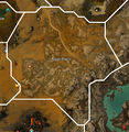
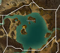
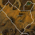
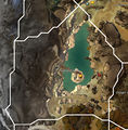
Media in category "Fireheart Rise area maps"
The following 25 files are in this category, out of 25 total.
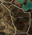
- Amduat Point map.jpg 816 × 895; 307 KB
- Apostate Wastes map.jpg 1,466 × 1,316; 784 KB
- Buloh Crossing map.jpg 1,079 × 890; 413 KB
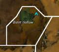
- Burnt Hollow map.jpg 448 × 396; 82 KB
- Cozen Desolation map.jpg 740 × 766; 267 KB
- Forge Plains map.jpg 939 × 965; 410 KB
- Fuller Cistern map.jpg 1,098 × 976; 396 KB
- Havoc Steppes map.jpg 1,148 × 1,142; 572 KB
- Highland Thaw map.jpg 1,157 × 1,179; 588 KB
- Icespear's Shelf map.jpg 802 × 1,015; 357 KB
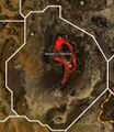
- Keeper's Sanctum map.jpg 935 × 1,080; 861 KB
- Liberation Dell map.jpg 596 × 405; 111 KB
- Mangonel Cavern map.jpg 987 × 741; 305 KB
- Onager Bivouac map.jpg 511 × 747; 167 KB
- Pig Iron Mine map.jpg 973 × 1,248; 515 KB
- Rebel's Seclusion map.jpg 676 × 921; 247 KB
- Rustbowl map.jpg 1,071 × 972; 439 KB
- Sati Passage map.jpg 1,155 × 932; 434 KB
- Simurgh Timberland map.jpg 1,113 × 1,426; 748 KB
- Sloven Pitch map.jpg 1,398 × 1,152; 653 KB
- Sweltering Canyons map.jpg 981 × 705; 340 KB
- Switchback Canyons map.jpg 1,199 × 1,246; 703 KB
- The Baelfire map.jpg 1,364 × 1,234; 615 KB
- The Toughstone map.jpg 963 × 830; 318 KB
- Vexa's Lab map.jpg 721 × 519; 230 KB
