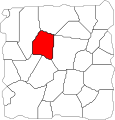
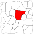
Category:Fields of Ruin locator maps
From Guild Wars 2 Wiki
Jump to navigationJump to search
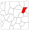
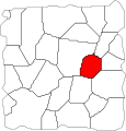
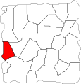
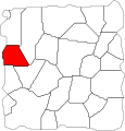
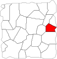
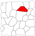
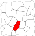
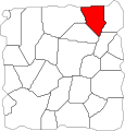
Media in category "Fields of Ruin locator maps"
The following 26 files are in this category, out of 26 total.
- Axedrag Cut locator.svg 3,592 × 3,739; 23 KB
- Belag Crossroads locator.svg 3,592 × 3,739; 23 KB
- Bento Canyon locator.svg 3,592 × 3,739; 23 KB
- Blackwing Excavation locator.svg 3,592 × 3,739; 23 KB
- Dragonrot Domains locator.svg 3,592 × 3,739; 23 KB
- Flameroot Caverns locator.svg 3,592 × 3,739; 23 KB
- Gillfarn Plains locator.svg 3,592 × 3,739; 23 KB
- Grimm Hills locator.svg 3,592 × 3,739; 23 KB
- Halkor Meadows locator.svg 3,592 × 3,739; 23 KB
- Hautclaire Vale locator.svg 3,592 × 3,739; 23 KB
- Highden Caves locator.svg 3,592 × 3,739; 23 KB
- Hunter's Gorge locator.svg 3,592 × 3,739; 23 KB
- Last Stand Shelter locator.svg 3,592 × 3,739; 23 KB
- Mithric Cliffs locator.svg 3,592 × 3,739; 23 KB
- Secluded Glen locator.svg 3,592 × 3,739; 23 KB
- Sniper's Woods locator.svg 3,592 × 3,739; 23 KB
- Stronghold of Ebonhawke locator.svg 3,592 × 3,739; 23 KB
- Tanglerot Hills locator.svg 3,592 × 3,739; 23 KB
- Tenaebron Lake locator.svg 3,592 × 3,739; 23 KB
- The Ogre Road locator.svg 3,592 × 3,739; 23 KB
- The Siege Plains locator.svg 3,592 × 3,739; 23 KB
- Thunderbreak Hills locator.svg 3,592 × 3,739; 23 KB
- Varim's Run locator.svg 3,592 × 3,739; 23 KB
- Vulture's Sweep locator.svg 3,592 × 3,739; 23 KB
- Warrior's Crown locator.svg 3,592 × 3,739; 23 KB
- Wildlin Narrows locator.svg 3,592 × 3,739; 23 KB
