Category:Ember Bay area maps
From Guild Wars 2 Wiki
Jump to navigationJump to search
Media in category "Ember Bay area maps"
The following 15 files are in this category, out of 15 total.
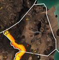
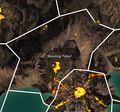
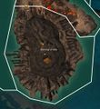
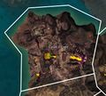
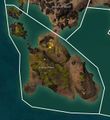
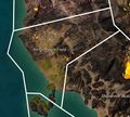
- Ashen Skerries map.jpg 836 × 1,277; 278 KB
- Basalt Rise map.jpg 807 × 822; 228 KB
- Bleeding Pulpit map.jpg 921 × 860; 279 KB
- Burning Grotto map.jpg 1,063 × 1,156; 298 KB
- Caliph's Steps map.jpg 937 × 841; 244 KB
- Fractured Caldera map.jpg 1,671 × 1,143; 537 KB
- Infernal Cape map.jpg 673 × 862; 191 KB
- Lava Flats map.jpg 1,093 × 1,373; 506 KB
- Osprey Pillars map.jpg 1,195 × 1,301; 332 KB
- Performance Field map.jpg 871 × 786; 226 KB
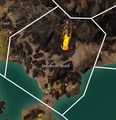
- Shipwreck Beach map.jpg 852 × 884; 234 KB
- Skritt Anchorage map.jpg 952 × 775; 201 KB
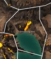
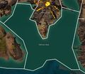
- Smoldering Inlet map.jpg 678 × 792; 186 KB
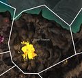
- Sopor Titanum map.jpg 894 × 852; 219 KB
- Sulfurous Deep map.jpg 1,497 × 1,301; 396 KB

