Category:Dragon's Stand area maps
From Guild Wars 2 Wiki
Jump to navigationJump to search
Media in category "Dragon's Stand area maps"
The following 17 files are in this category, out of 17 total.
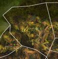
- Bitter Harvest (area) map.jpg 1,848 × 1,144; 586 KB
- Broken Altar map.jpg 1,228 × 1,262; 572 KB
- Central Barbed Gate map.jpg 1,345 × 1,185; 585 KB
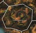
- Central Blighting Tower map.jpg 765 × 699; 188 KB
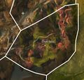
- Chak Nest map.jpg 823 × 789; 207 KB
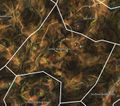
- Dragon's Domain map.jpg 1,949 × 1,816; 842 KB
- Exhumed Delve map.jpg 738 × 930; 239 KB
- Northern Barbed Gate map.jpg 1,345 × 1,275; 619 KB
- Northern Blighting Tower map.jpg 685 × 843; 182 KB
- Pact Base Camp map.jpg 668 × 844; 201 KB
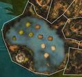
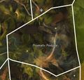
- Prismatic Postpile map.jpg 736 × 702; 160 KB
- Rooted Copse map.jpg 835 × 920; 245 KB
- Southern Barbed Gate map.jpg 692 × 1,187; 276 KB
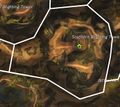
- Southern Blighting Tower map.jpg 746 × 668; 176 KB
- Toadstool Mire map.jpg 1,052 × 931; 375 KB
- Vigilant Precipice map.jpg 1,076 × 862; 368 KB
- Wyvern Scar map.jpg 959 × 751; 264 KB

