Category:Cursed Shore area maps
From Guild Wars 2 Wiki
Jump to navigationJump to search
Media in category "Cursed Shore area maps"
The following 19 files are in this category, out of 19 total.
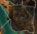
- Azabe Qabar, the Royal Tombs map.jpg 1,114 × 786; 448 KB
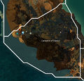
- Cathedral of Silence map.jpg 1,117 × 1,070; 446 KB
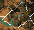
- Cathedral of Verdance map.jpg 791 × 707; 327 KB
- Compass Plaza map.jpg 793 × 1,216; 482 KB
- Craven Blight map.jpg 1,169 × 741; 466 KB
- Desmina's Hallows map.jpg 1,239 × 1,150; 580 KB
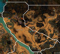
- Fields of Gold map.jpg 1,466 × 1,304; 947 KB
- Graven Cay map.jpg 992 × 1,646; 661 KB
- Harrowed Sea map.jpg 779 × 1,139; 221 KB
- Mausollus Sea map.jpg 1,294 × 851; 472 KB
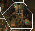
- Noose Road map.jpg 700 × 629; 233 KB
- Penitent Path map.jpg 461 × 683; 143 KB
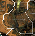
- Promenade of the Gods map.jpg 771 × 804; 337 KB
- Pursuit Pass map.jpg 1,668 × 1,034; 739 KB
- The Artesian Waters map.jpg 859 × 700; 215 KB
- The Narthex map.jpg 709 × 915; 295 KB
- The Shipyard map.jpg 1,075 × 1,879; 848 KB
- Winterknell Isle map.jpg 1,053 × 946; 536 KB
- Winterknell Shore map.jpg 1,096 × 1,645; 771 KB

