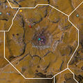
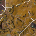
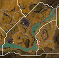
Category:Blazeridge Steppes area maps
From Guild Wars 2 Wiki
Jump to navigationJump to search
Media in category "Blazeridge Steppes area maps"
The following 29 files are in this category, out of 29 total.
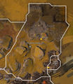
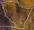
- Agrak Kraal map.jpg 304 × 436; 56 KB
- Behem Gauntlet map.jpg 1,076 × 915; 411 KB
- Blightwater Basin map.jpg 1,118 × 1,231; 520 KB
- Crater Rim map.jpg 968 × 965; 398 KB
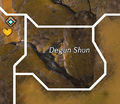
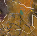
- Degun Shun map.jpg 417 × 361; 71 KB
- Deserter Flats map.jpg 872 × 893; 427 KB
- Dragonwatch map.jpg 594 × 964; 232 KB
- Foulblain Expanse map.jpg 587 × 849; 220 KB
- Gastor Gullet map.jpg 709 × 1,111; 344 KB
- Hazmagic Aggregate map.jpg 625 × 1,084; 309 KB
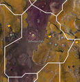
- Heretic Plain map.jpg 1,415 × 820; 510 KB
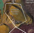
- InGenium Research Facility map.jpg 470 × 449; 217 KB
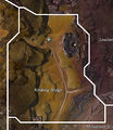
- Kindling Bridge map.jpg 736 × 851; 269 KB
- Lowland Burns map.jpg 1,374 × 1,443; 751 KB
- Monument Grounds map.jpg 1,232 × 548; 307 KB
- Pockmark Roughs map.jpg 932 × 930; 409 KB
- Ratcatcher Knoll map.jpg 769 × 1,078; 350 KB
- Relliatus Canyon map.jpg 965 × 1,186; 509 KB
- Shattered Palisades map.jpg 1,208 × 475; 302 KB
- Soot Road map.jpg 972 × 972; 422 KB
- Splinter Hills map.jpg 1,201 × 1,185; 637 KB
- Steeleye Span map.jpg 548 × 437; 106 KB
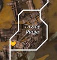
- Tawny Ridge map.jpg 288 × 300; 49 KB
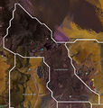
- Terra Carorunda map.jpg 1,038 × 1,197; 575 KB
- Terra Combusta map.jpg 1,145 × 999; 477 KB
- Tongue Rock map.jpg 511 × 406; 92 KB
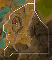
- Tumok's Last Stand map.jpg 774 × 989; 344 KB
- Twin Sisters Crossing map.jpg 707 × 813; 246 KB
- Unbroken Expanse map.jpg 1,030 × 1,019; 457 KB

