File:Tyria map with zones.jpg
From Guild Wars 2 Wiki
Jump to navigationJump to search

Size of this preview: 594 × 600 pixels. Other resolutions: 238 × 240 pixels | 475 × 480 pixels | 761 × 768 pixels | 1,014 × 1,024 pixels | 2,029 × 2,048 pixels | 3,765 × 3,801 pixels.
Original file (3,765 × 3,801 pixels, file size: 4.91 MB, MIME type: image/jpeg)
Licensing[edit]
| This screenshot contains property of ArenaNet or NCSoft which is used with permission. The terms of the permission do not include third party use. It is not released under the GFDL. Please see Guild Wars 2 Wiki:Copyrights for further information. |
File history
Click on a date/time to view the file as it appeared at that time.
| Date/Time | Thumbnail | Dimensions | User | Comment | |
|---|---|---|---|---|---|
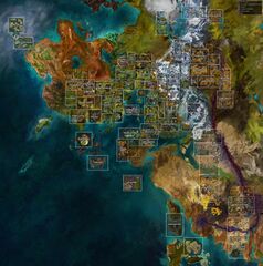
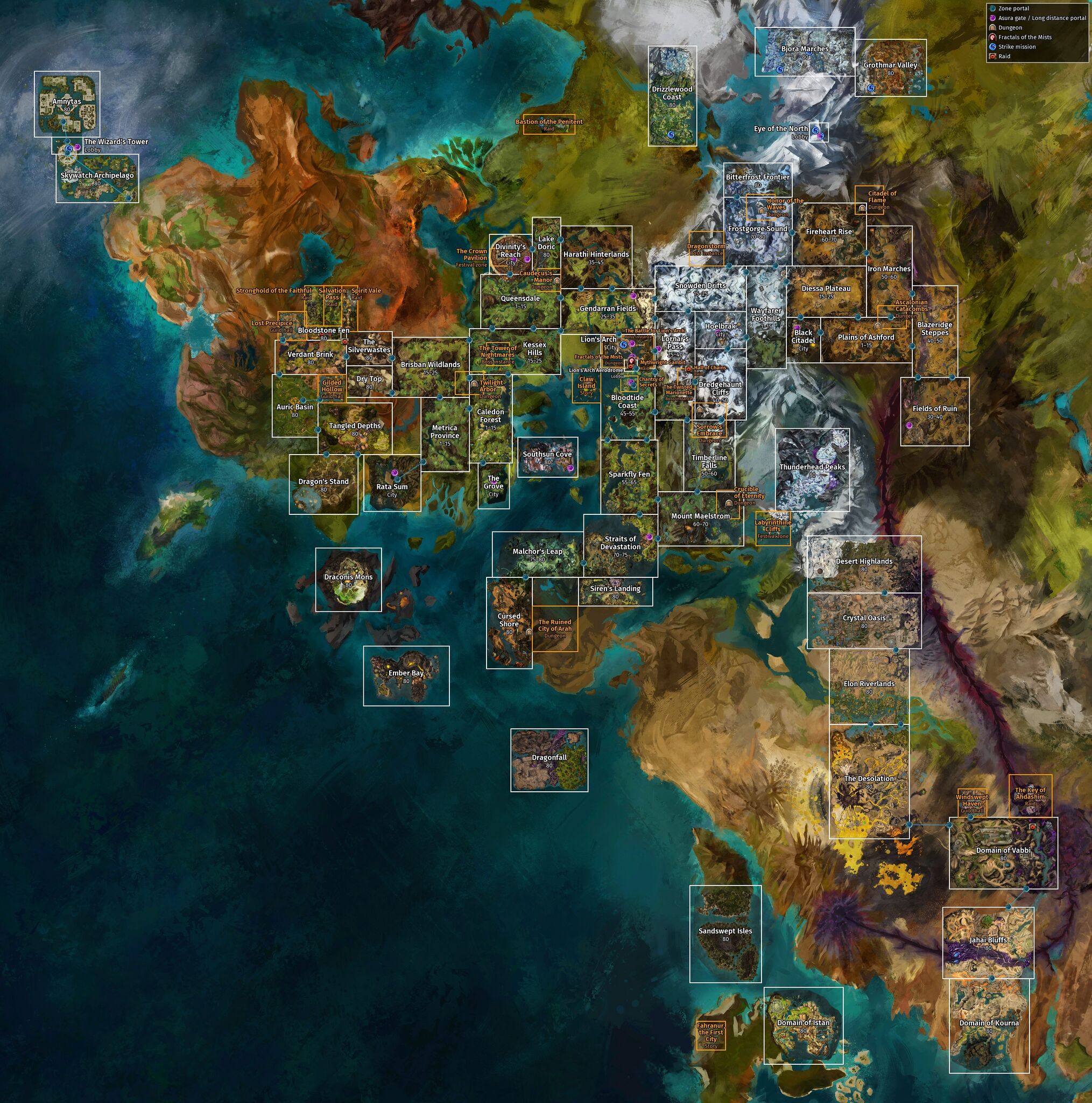
| current | 00:23, 26 August 2023 | | 3,765 × 3,801 (4.91 MB) | Noxx (talk | contribs) | added SotO maps |
| 18:24, 11 July 2023 | 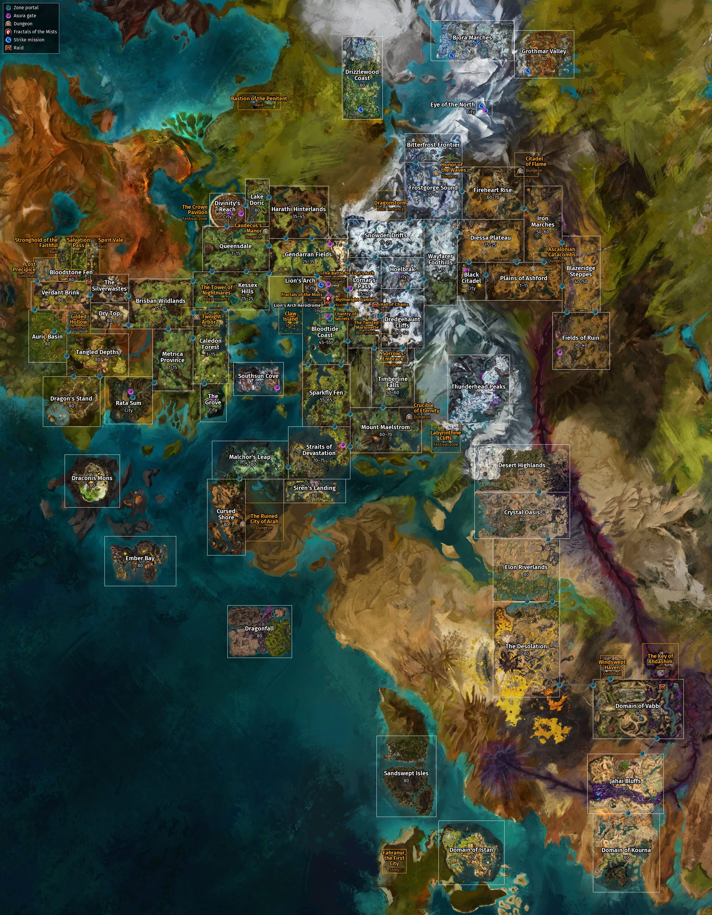 | 2,392 × 3,072 (2.59 MB) | Noxx (talk | contribs) | fixed wrong zone names, added missing raids and several instanced zones | |
| 17:31, 4 August 2020 | 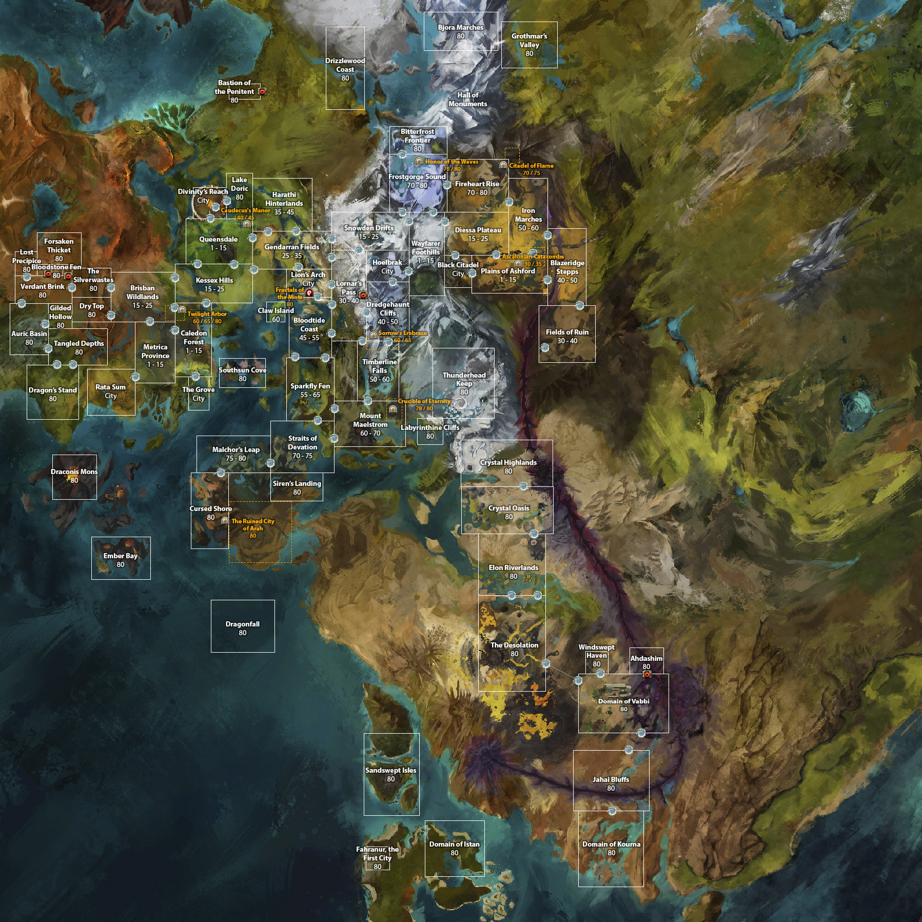 | 1,797 × 1,797 (1.34 MB) | Raikiri (talk | contribs) | + s4 maps, tibs maps, portals | |
| 23:51, 27 August 2018 | 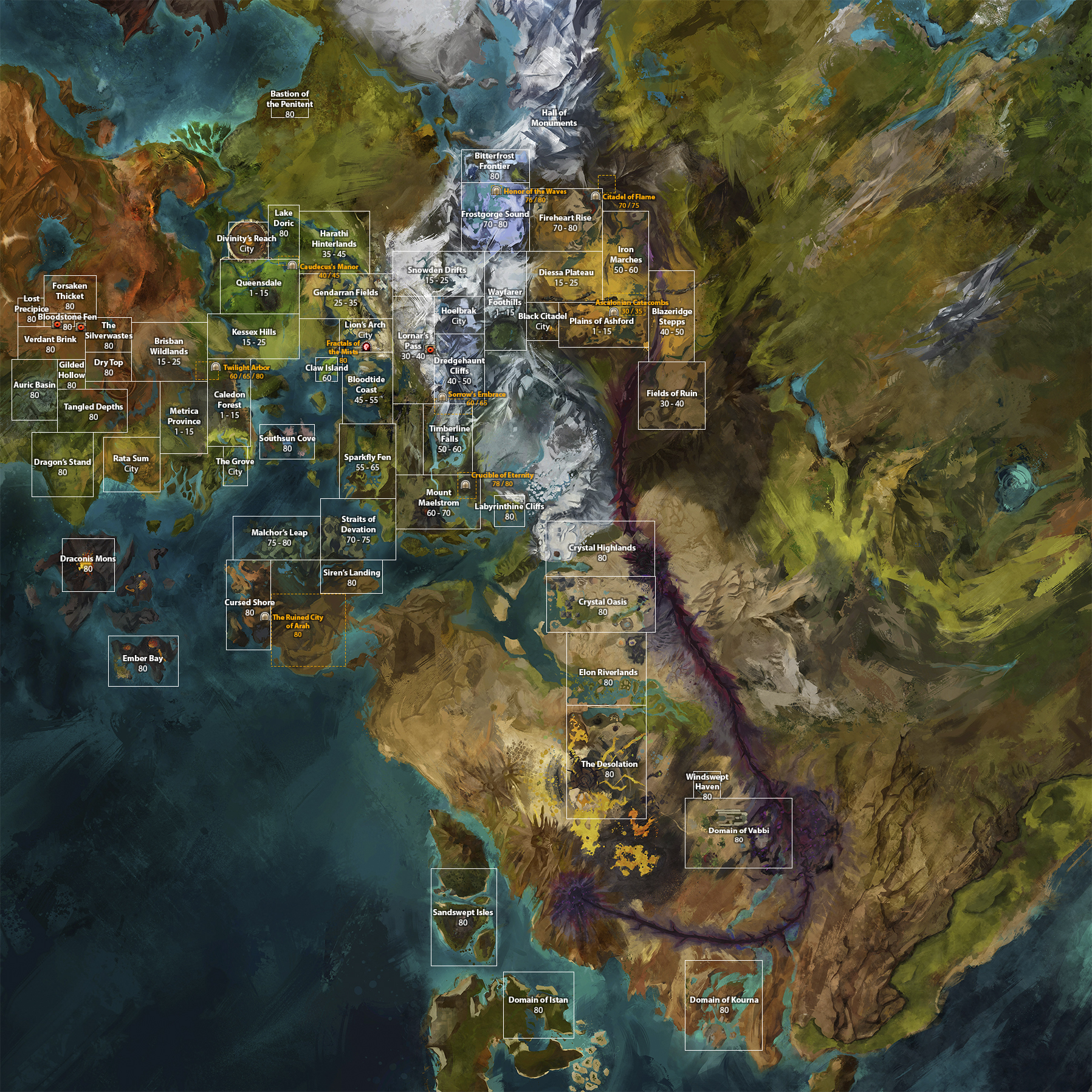 | 1,797 × 1,797 (3.05 MB) | Raikiri (talk | contribs) | ||
| 13:31, 29 September 2017 | 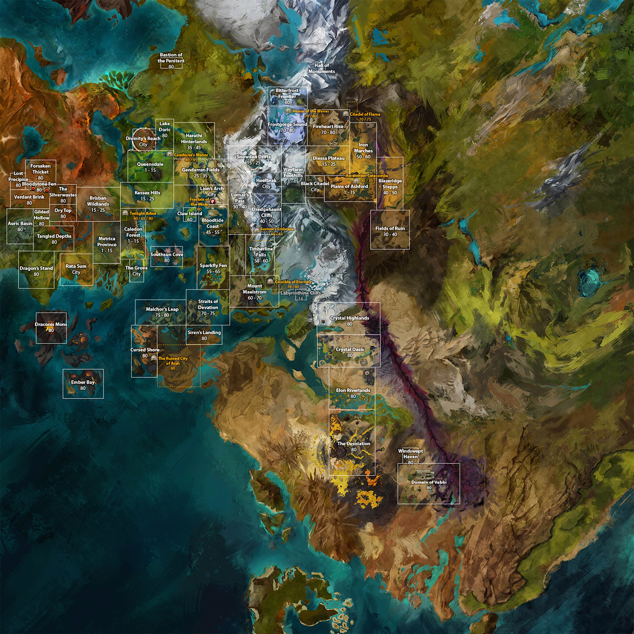 | 1,300 × 1,300 (1.98 MB) | Raikiri (talk | contribs) | + PoF zones | |
| 01:37, 4 August 2017 |  | 1,200 × 1,200 (1.41 MB) | Raikiri (talk | contribs) | updated with the remain ls3 maps | |
| 15:31, 10 February 2017 |  | 1,200 × 1,200 (1.4 MB) | Raikiri (talk | contribs) | + bastion of the penitent and lake doric | |
| 17:41, 21 December 2016 |  | 1,200 × 1,200 (1.39 MB) | Raikiri (talk | contribs) | forsaken thicket, bloodstone fen, ember bay, bitterfrost frontier and dungeon areas | |
| 16:46, 21 March 2016 | 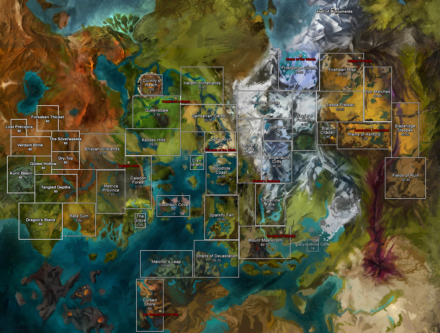 | 1,440 × 1,091 (1.49 MB) | Raikiri (talk | contribs) | +Magus Falls, Labyrinthine Cliffs and HoM | |
| 17:15, 29 March 2013 | 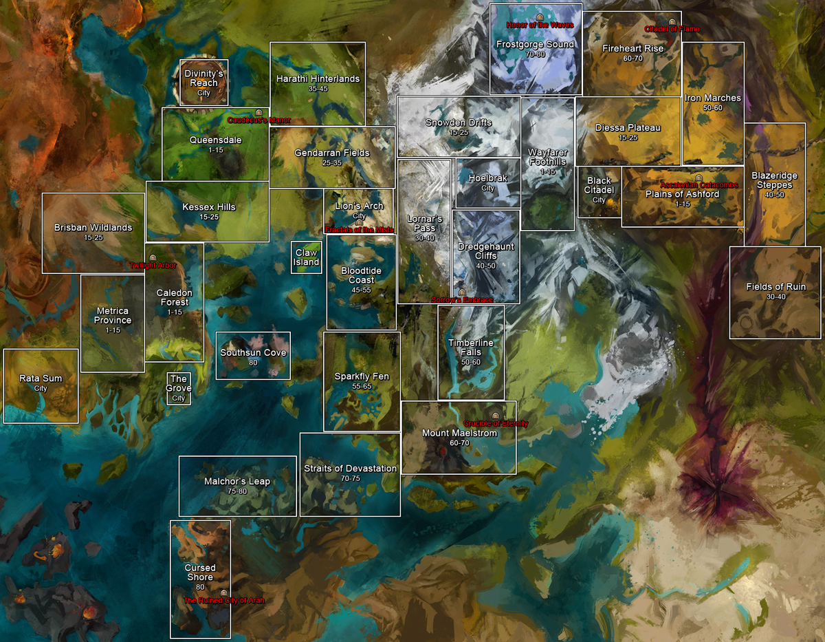 | 1,200 × 933 (778 KB) | That Sounds Risky (talk | contribs) | Claw Island added. |
You cannot overwrite this file.
File usage
The following page uses this file: