File:Dry Top map.jpg
From Guild Wars 2 Wiki
Jump to navigationJump to search

Size of this preview: 800 × 567 pixels. Other resolutions: 320 × 227 pixels | 640 × 454 pixels | 1,024 × 726 pixels | 1,280 × 907 pixels | 2,556 × 1,812 pixels.
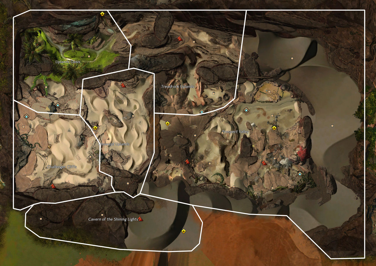
Original file (2,556 × 1,812 pixels, file size: 1.83 MB, MIME type: image/jpeg)
Licensing[edit]
| This screenshot contains property of ArenaNet or NCSoft which is used with permission. The terms of the permission do not include third party use. It is not released under the GFDL. Please see Guild Wars 2 Wiki:Copyrights for further information. |
File history
Click on a date/time to view the file as it appeared at that time.
| Date/Time | Thumbnail | Dimensions | User | Comment | |
|---|---|---|---|---|---|
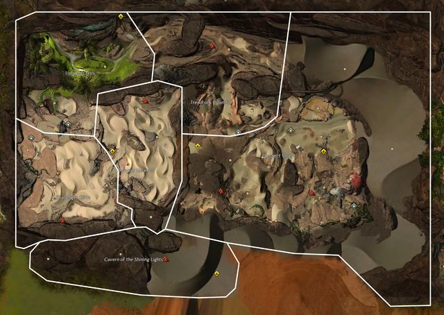
| current | 14:33, 11 June 2016 | | 2,556 × 1,812 (1.83 MB) | Chieftain Alex (talk | contribs) | Revised boundaries using API, followed by manual touchup to make it look less goofy |
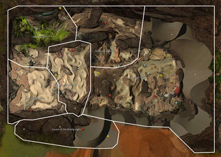
| 06:00, 24 February 2016 |  | 2,464 × 1,696 (2.28 MB) | Darqam (talk | contribs) | Apparently now the boundaries show up on the previous version... Reverted to version as of 05:53, 24 February 2016 | |
| 05:59, 24 February 2016 |  | 2,464 × 1,696 (2.28 MB) | Darqam (talk | contribs) | Trying to get area boundaries to appear | |
| 05:53, 24 February 2016 | 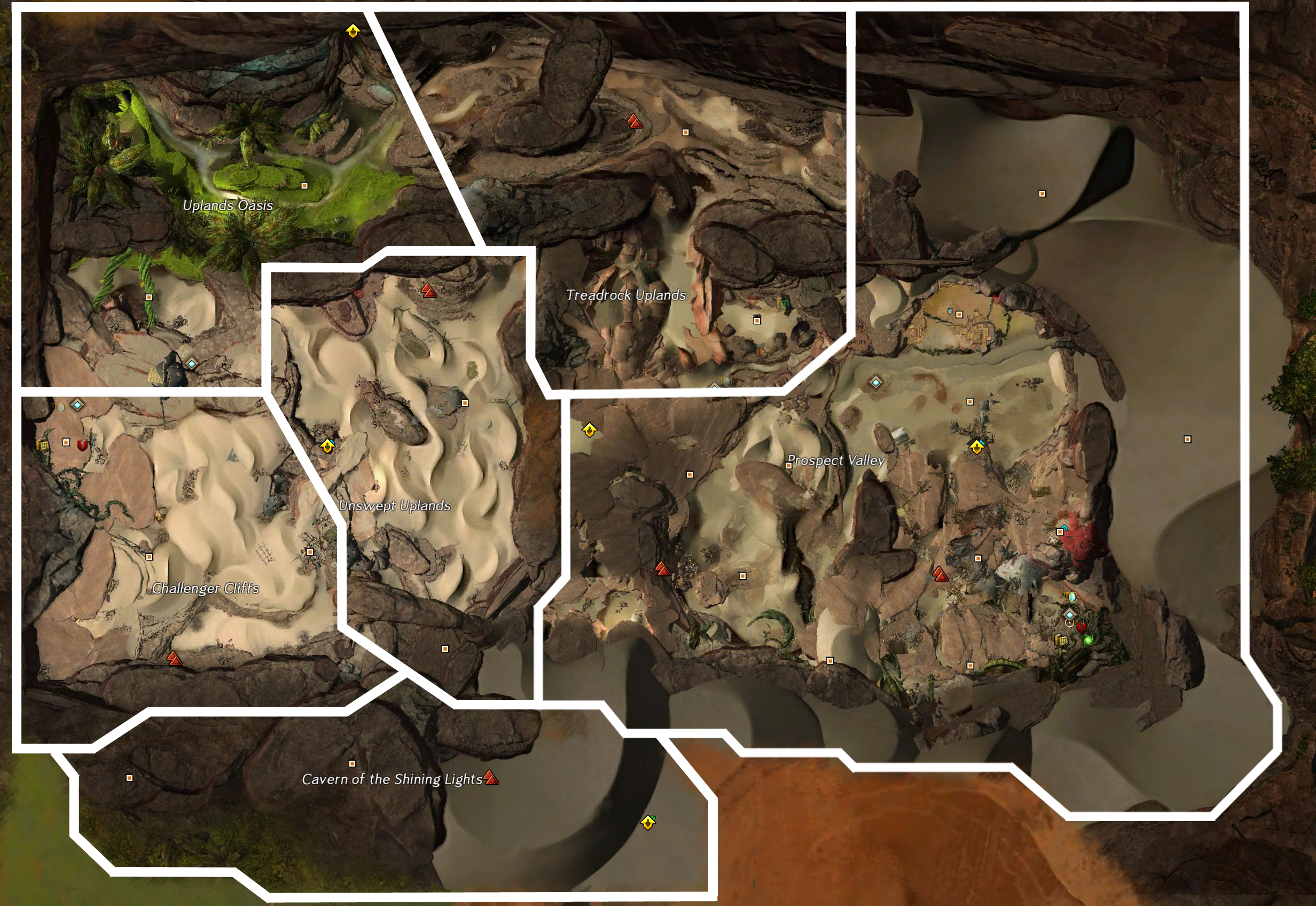 | 2,464 × 1,696 (2.28 MB) | Darqam (talk | contribs) | ||
| 22:39, 30 January 2015 | 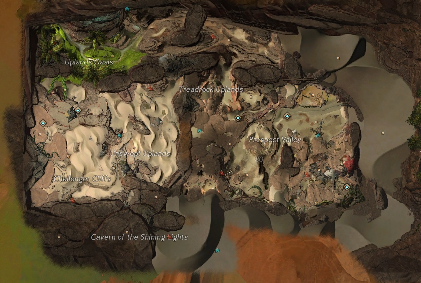 | 1,472 × 990 (517 KB) | Konig Des Todes (talk | contribs) | No ui | |
| 15:56, 30 January 2015 | 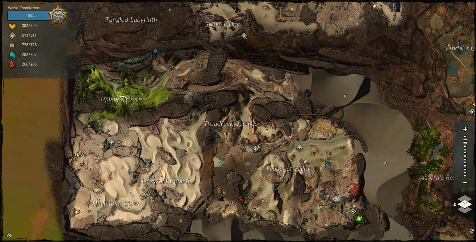 | 1,581 × 805 (516 KB) | Ardan (talk | contribs) | ||
| 15:46, 30 January 2015 | 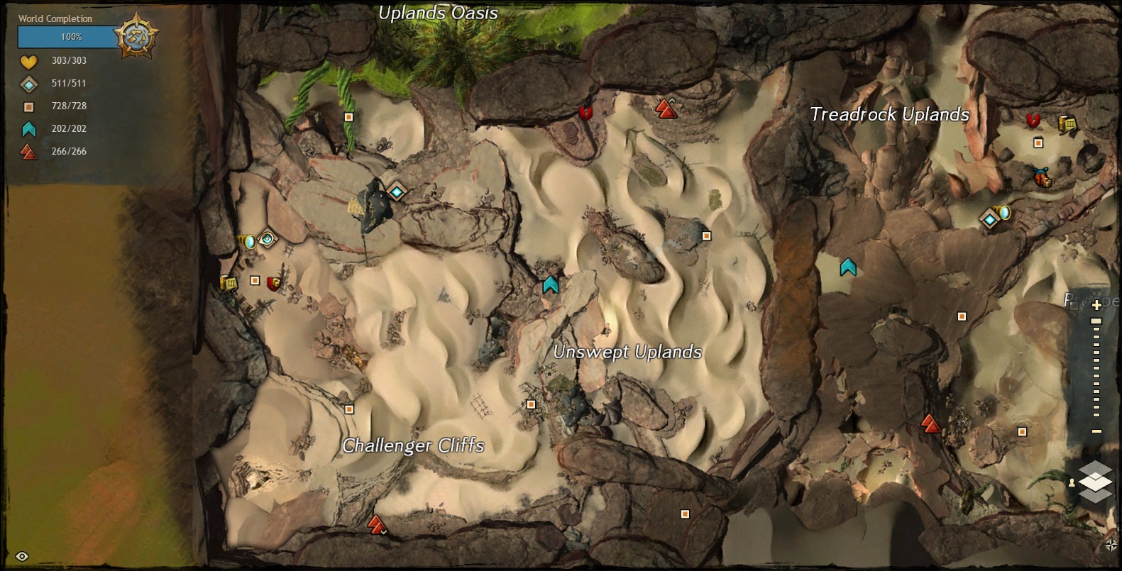 | 1,581 × 805 (421 KB) | Ardan (talk | contribs) | ||
| 22:55, 6 November 2014 | 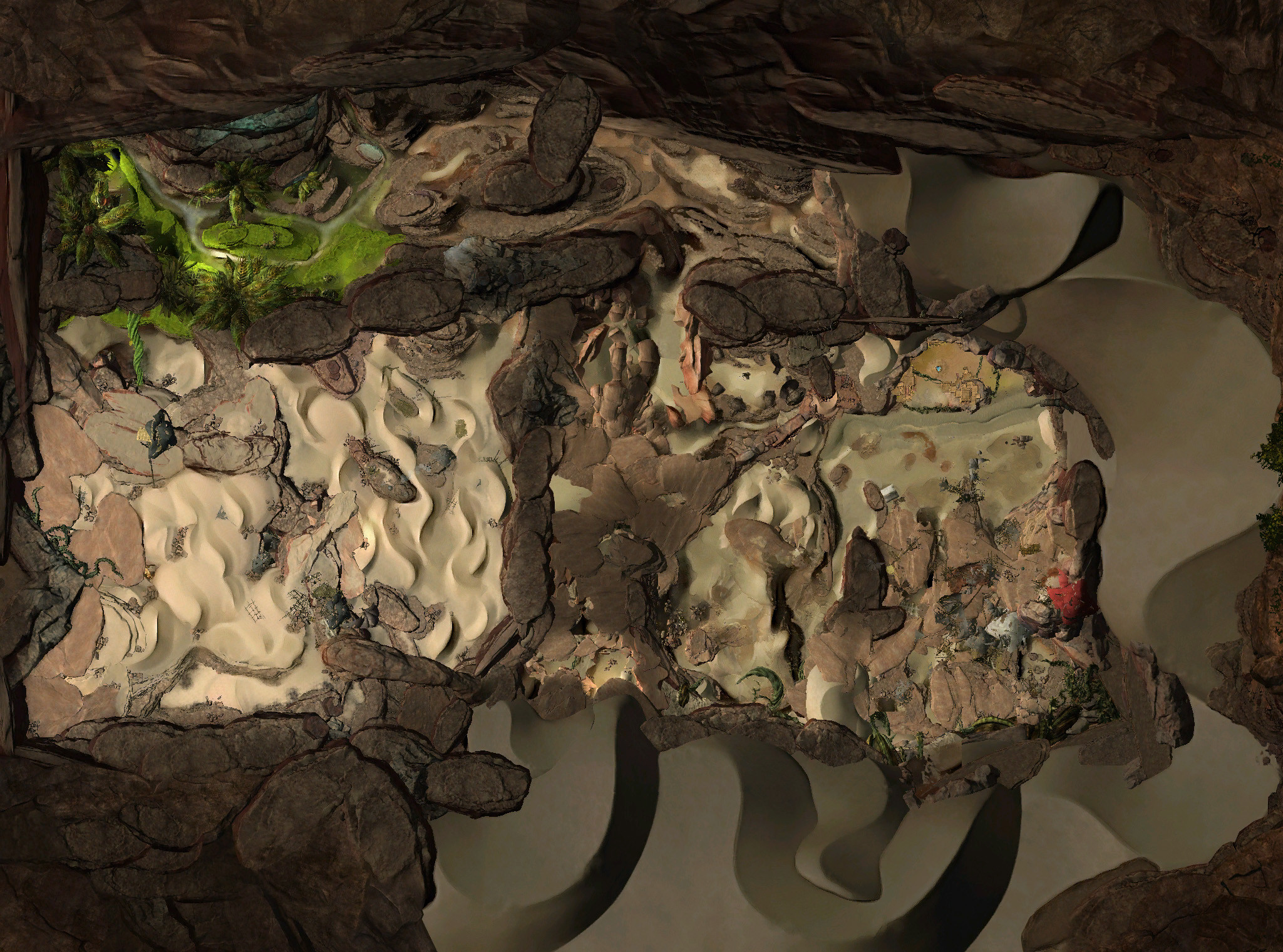 | 2,049 × 1,521 (1.02 MB) | Noxx (talk | contribs) | cropping for the actual map area since the north is now occupied by The Silverwastes | |
| 01:07, 13 August 2014 |  | 2,049 × 2,561 (1.58 MB) | Ventriloquist (talk | contribs) | ||
| 21:30, 16 July 2014 | 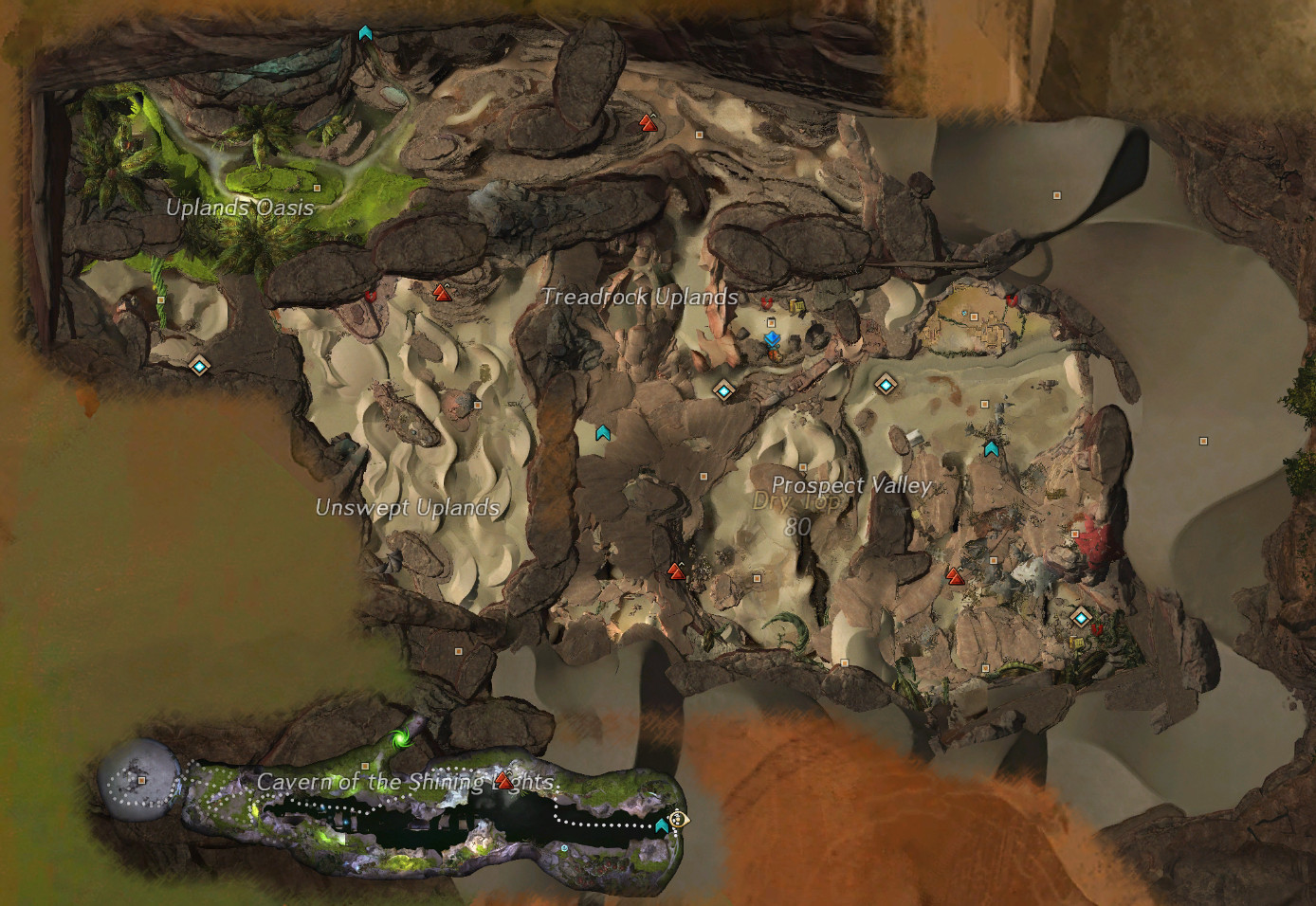 | 1,388 × 956 (428 KB) | Kipik (talk | contribs) |
You cannot overwrite this file.
File usage
The following 2 pages use this file: