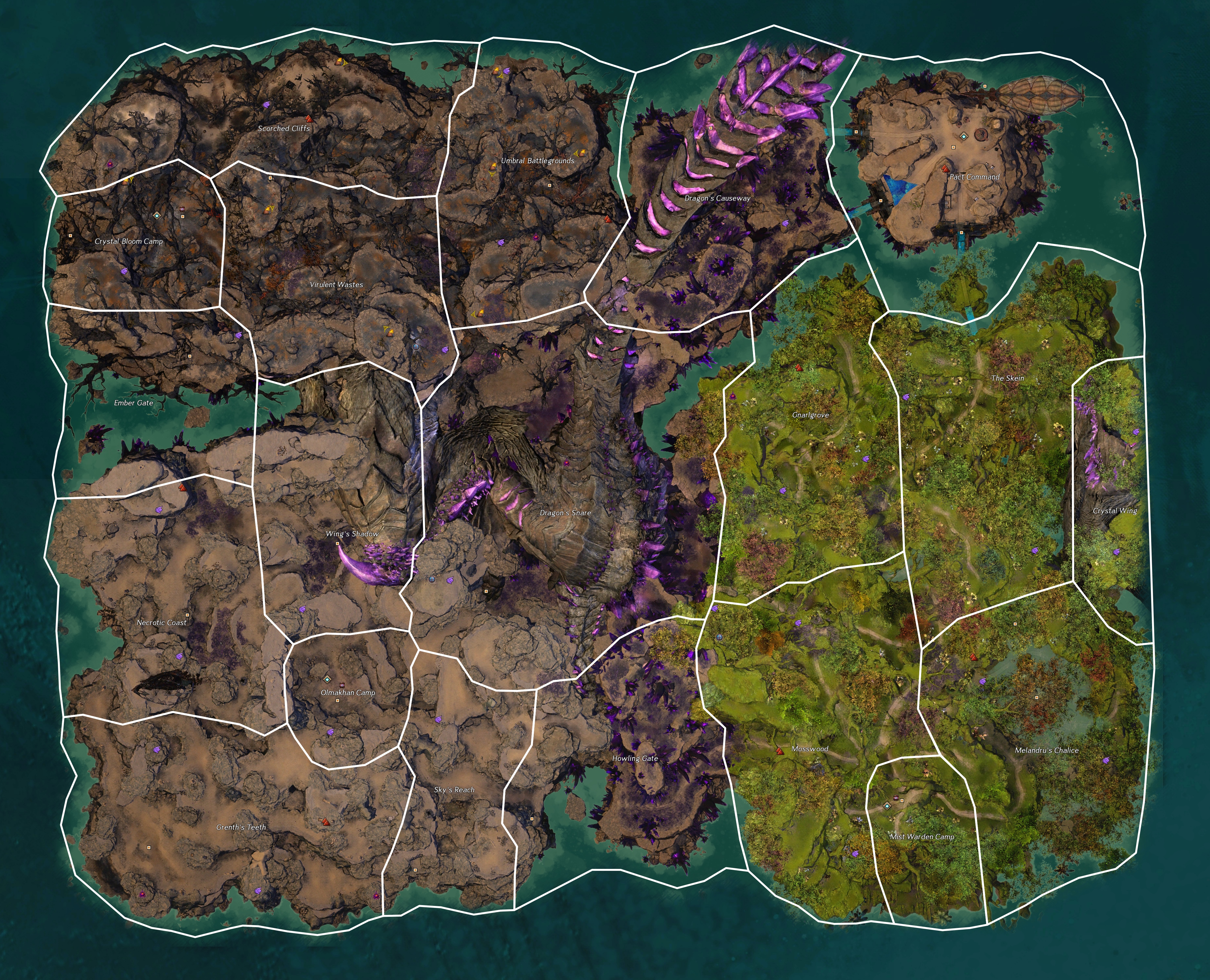
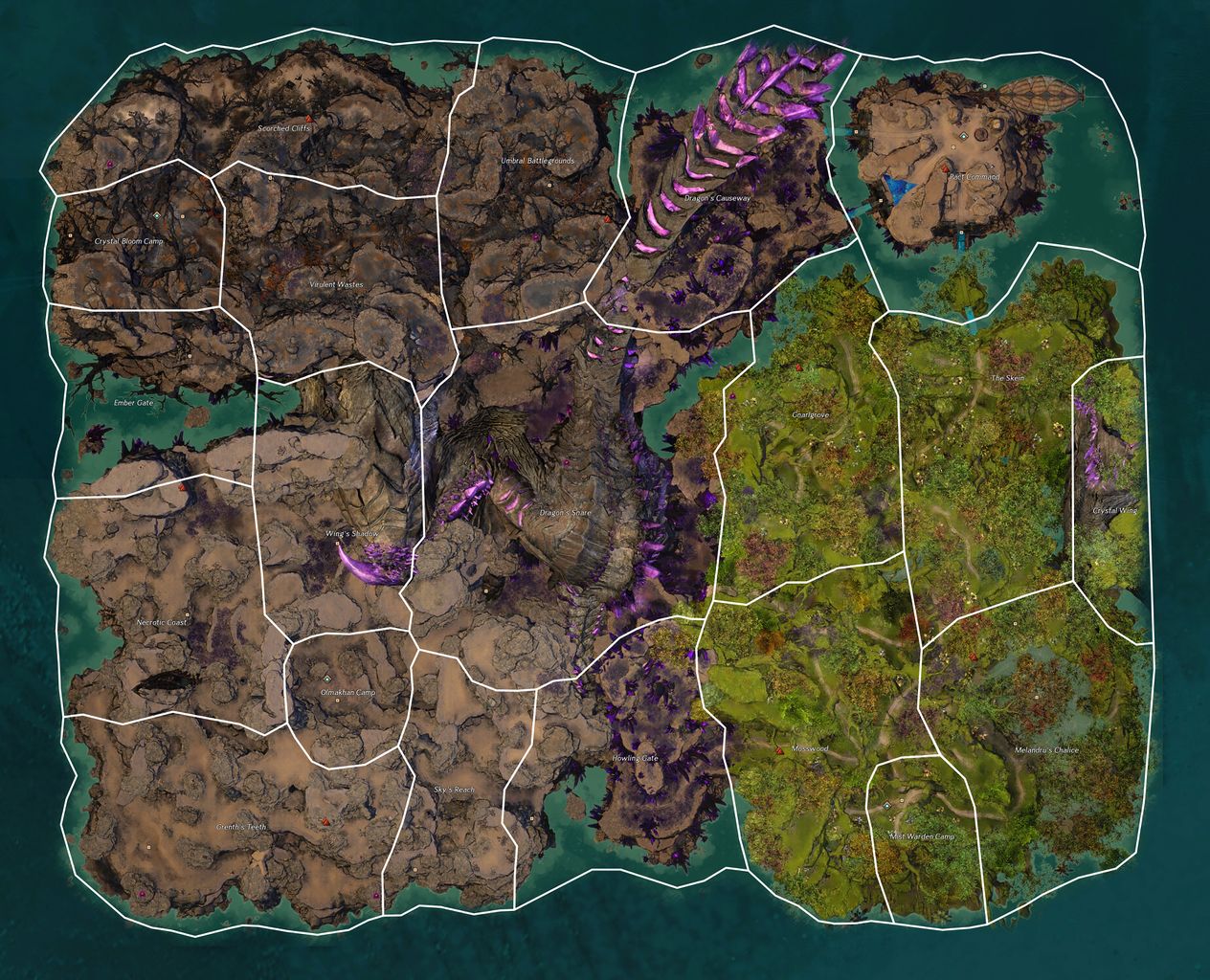
File:Dragonfall map.jpg
From Guild Wars 2 Wiki
Jump to navigationJump to search
Size of this preview: 740 × 599 pixels. Other resolutions: 296 × 240 pixels | 593 × 480 pixels | 948 × 768 pixels | 1,264 × 1,024 pixels | 2,528 × 2,048 pixels | 4,344 × 3,519 pixels.
Original file (4,344 × 3,519 pixels, file size: 7.69 MB, MIME type: image/jpeg)
Licensing[edit]
| This screenshot contains property of ArenaNet or NCSoft which is used with permission. The terms of the permission do not include third party use. It is not released under the GFDL. Please see Guild Wars 2 Wiki:Copyrights for further information. |
File history
Click on a date/time to view the file as it appeared at that time.
| Date/Time | Thumbnail | Dimensions | User | Comment | |
|---|---|---|---|---|---|
| current | 21:28, 23 May 2019 | | 4,344 × 3,519 (7.69 MB) | Chieftain Alex (talk | contribs) | +Shrines (3), +Skyscale Roosts (26), +Thermal Tubes (couple), +Camp T4. Credit to User:Almdudler, User:Sime and User:Konig Des Todes for morale support! |
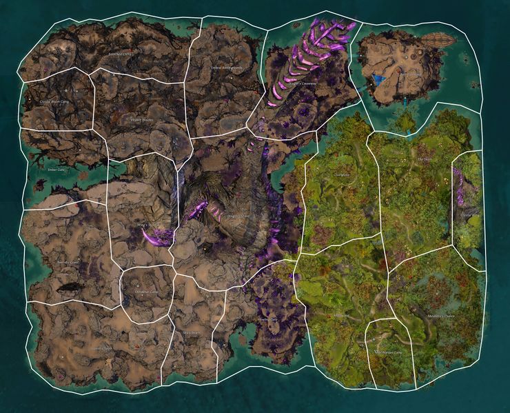
| 20:30, 15 May 2019 |  | 4,344 × 3,519 (7.67 MB) | Chieftain Alex (talk | contribs) | now with sectors. | |
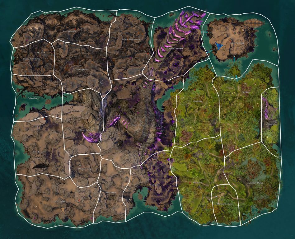
| 19:02, 15 May 2019 | 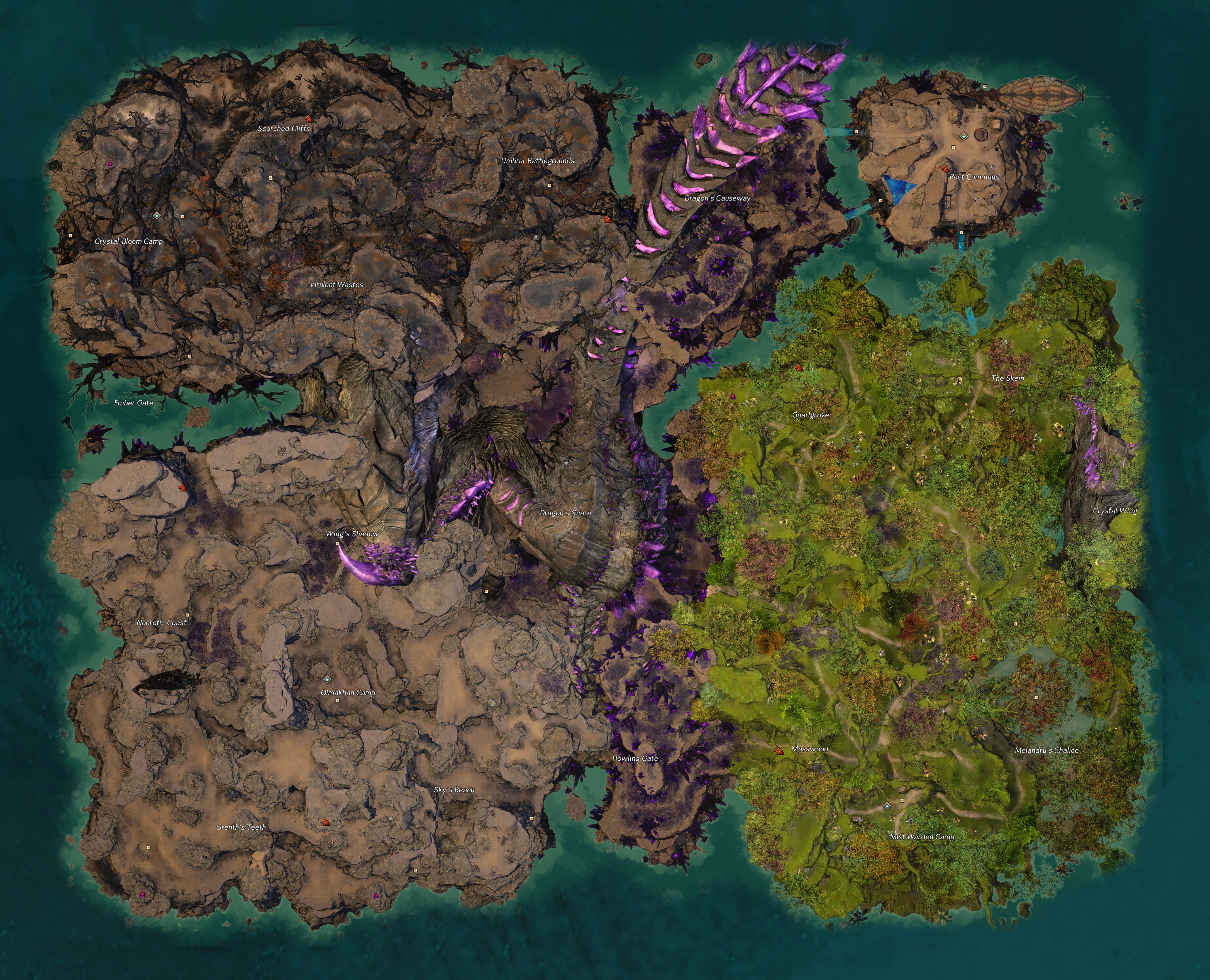 | 4,344 × 3,519 (7.31 MB) | Chieftain Alex (talk | contribs) | == Licensing == {{ArenaNet image|screenshot|Zone map images}} |
You cannot overwrite this file.
File usage
The following page uses this file: